Our community needs to brace for what meteorologists are calling a significant winter storm system. A powerful nor'easter is set to deliver blizzard conditions, heavy snowfall, and dangerous winds beginning Sunday, February 22, and continuing through Monday, February 23.
Blizzard warnings are now in effect for nearly 30 million people across our region, stretching from Delaware through southern New England. This includes all five boroughs of New York City, Long Island, much of New Jersey and Connecticut, and eastern Massachusetts.
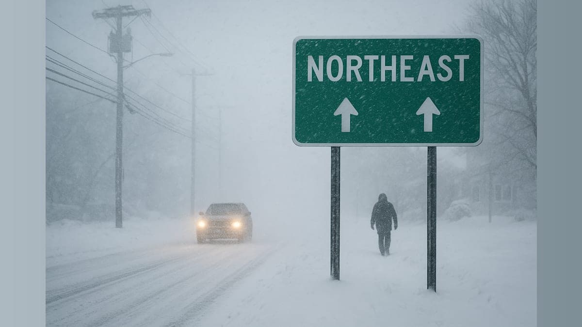
What to Expect in Our Area
According to AccuWeather's latest forecasts, snowfall totals will vary significantly across the Northeast. Philadelphia to New York City can expect 10 to 14 inches of snow, while Boston is likely to see 12 to 18 inches. The hardest-hit areas—parts of Long Island and Cape Cod—could receive 18 to 24 inches, with isolated spots potentially seeing up to 36 inches.
Areas farther south will see lighter accumulations, with Baltimore forecast to receive 3 to 6 inches and Washington, DC, expecting 1 to 3 inches.
Dangerous Conditions Expected
The National Weather Service warns that blizzard conditions will make travel "very difficult to impossible." Wind gusts between 35 and 60 mph are expected across the warning area, with coastal regions potentially experiencing gusts up to 70 mph. These powerful winds will create whiteout conditions and reduce visibility to less than a quarter mile for several hours.
"The clinging nature of the snow and high winds will put a strain on trees and power lines, with extensive power outages anticipated," said Alex Duffus, an AccuWeather meteorologist. The combination of wet, heavy snow and fierce winds creates ideal conditions for downed trees and power lines, potentially leaving thousands without electricity.
Timeline: When the Storm Arrives
Snow will begin in the Mid-Atlantic early Sunday morning before reaching Philadelphia and New York City by early afternoon. Boston should see the first flakes by Sunday evening. The most intense period of the storm—with snowfall rates of 1 to 3 inches per hour—is expected Sunday night into Monday morning.
Chad Merrill, a Senior Meteorologist at AccuWeather, noted the historic nature of this event: "For New York City, the last time there was a blizzard warning in effect was during the storm from Feb. 8-9, 2017."
Travel and Infrastructure Impacts
Major transportation hubs across our region—including Philadelphia, New York City, and Boston—should expect significant disruptions. Airlines are already anticipating extensive delays and cancellations due to heavy snow, high winds, and the need for constant runway maintenance.
Coastal communities from Delmarva to Massachusetts face additional concerns with potential flooding and erosion during high tide. The combination of storm surge and astronomical tides could create hazardous conditions along the shoreline.
After the Storm Passes
Even as the nor'easter departs, our community will face lingering challenges. Colder air returning Monday night and persisting into Tuesday will cause slush and standing water to refreeze, creating treacherous conditions for our morning commute. Drifting snow and icy patches will continue to challenge both commuters and businesses well after the last snowflake falls.
How to Prepare
Local officials are urging residents to avoid travel during the height of the storm. Now is the time to prepare for possible power outages by charging devices, stocking up on batteries and flashlights, and ensuring you have adequate food and water supplies. If you must travel, keep emergency supplies in your vehicle including blankets, water, and a phone charger.
This is a developing weather situation. Stay tuned to local weather updates and official emergency management channels for the latest information as conditions evolve. Our community has weathered major storms before, and by preparing now and looking out for our neighbors, we'll get through this one together.