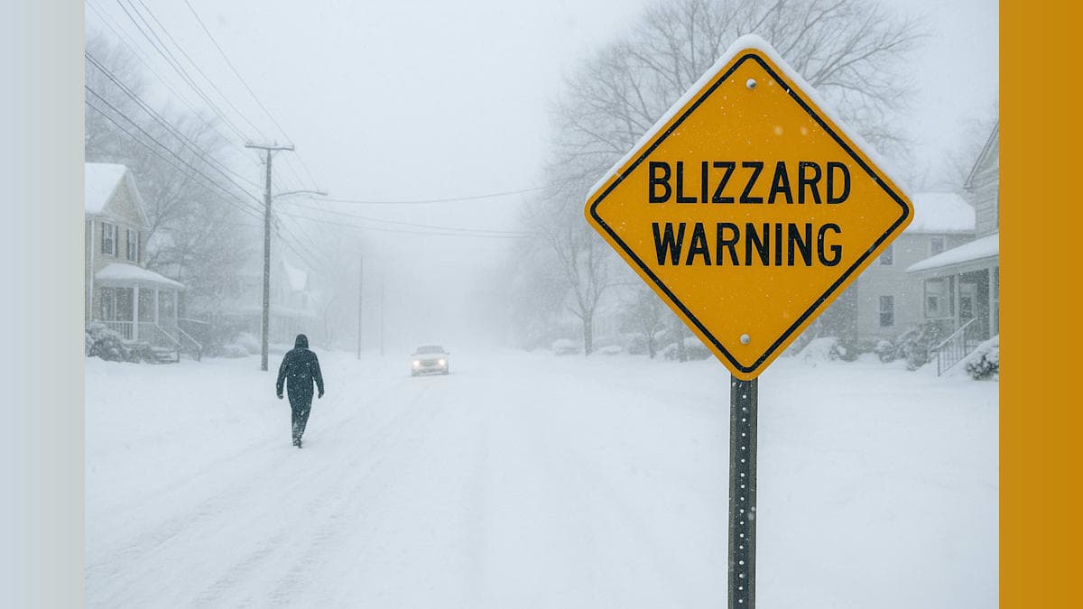
New Jersey residents are preparing for what weather experts are describing as a potentially historic snowstorm that could blanket our communities with up to two feet of snow and create dangerous blizzard conditions across the state.
Blizzard warnings have been issued as forecasters predict snowfall totals ranging from 12 to 24 inches or more in some areas. The severity of this storm has meteorologists using words like "crippling" and "historic" to describe its potential impact on our daily lives.
This winter weather event stands apart from typical snowstorms that pass through our region. The combination of heavy snowfall rates, strong winds, and extended duration creates conditions that could significantly disrupt transportation, power infrastructure, and emergency services throughout New Jersey.
For our community members, this means now is the time to prepare. Stock up on essential supplies including food, water, medications, and batteries. Charge your devices and consider alternative heating sources in case of power outages. If you have elderly neighbors or those with special needs nearby, check in on them and ensure they're prepared as well.
Travel during blizzard conditions can be extremely dangerous, if not impossible. Visibility drops dramatically when heavy snow combines with strong winds, and road crews struggle to keep pace with accumulation during the height of the storm. Our local emergency management officials strongly advise staying off the roads unless absolutely necessary.
Schools and businesses should monitor the forecast closely and prepare for potential closures. Many of our neighboring communities may need to implement parking bans to facilitate snow removal operations once the storm passes.
While significant snowstorms aren't uncommon in New Jersey, the projected totals from this system could rank among the most substantial in recent memory. Our state has weathered major winter storms before, and we'll get through this one together by staying informed, prepared, and looking out for one another.
Stay tuned to local weather updates as forecast details continue to evolve. The coming hours will be critical in determining the exact track and intensity of this potentially historic storm system.